Remember back in June, when I posted “The Return of Smoke”?
Little did I know…
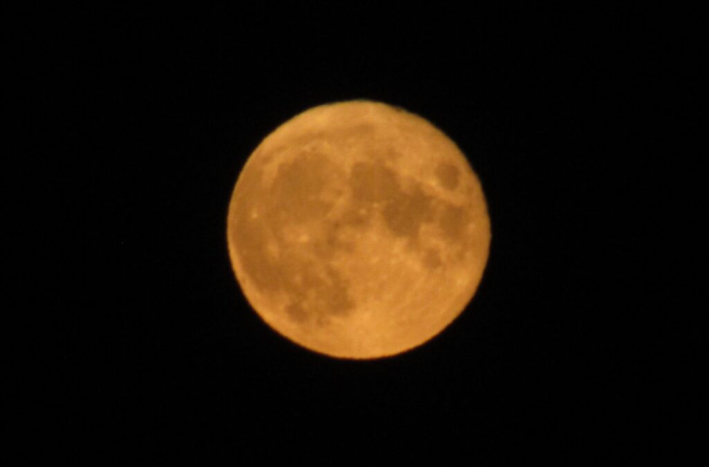
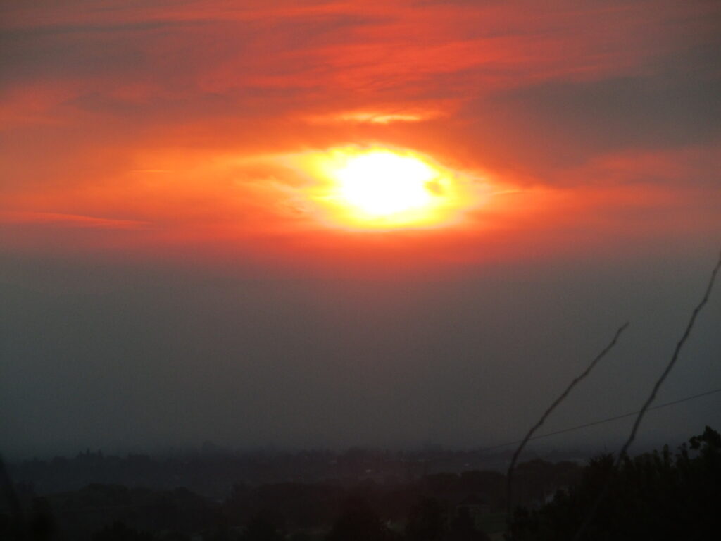
Now, 2 months and a couple of weeks later, we have been in the midst of the wrong kind of smoke for a few weeks, and not sure when it will break.
Not a huge fire, certainly by comparison to some we see in CA and other areas, but Google Earth measurements place the near edge at roughly 20 miles from home, and the typical air pattern brings the smoke directly towards us. As a result of the narrow stream of smoke, the topography, and the proximity, we see quite a bit of variability from day to day.
It appears that maybe a 15-20 degree shift in wind direction puts the smoke on a course that completely bypasses our area, due to the ridgelines. Two AQI sensors in town, maybe 3 miles apart, have been showing differences of up to 250 points, on some days!
Of course, there is also a sensor that someone added to the program, recently, that is 2 miles from the Eastern edge of the fire and keeps spiking at almost 1500…
Here’s to hoping they get past 3% contained, sometime soon…
Tight lines…