My drive to/from Seattle, when work or life calls for that, has a long portion that is running parallel to the South Fork of the Snoqualmie River.
Beautiful river, with great roadway access (once you roll off the interstate and onto the FS Roads).
I’ve stopped, in past years, and fished it a bit. Not much success, but a great stress relief; especially on the way home from a tough work trip.
I tend to think the South Fork gets a fair amount of fishing pressure, and the proximity to I-90 perhaps makes it a bit less hospitable. With that in mind, and noting that the name calls out “South Fork”…it made me wonder what other forks there might be…
Looking at the WDFW regs, it turns out there are both Middle and North forks, as well…and the Middle Fork is open all year and 100% Catch&Release!
Score!
Coming back from my most recent business trip, I made a point of checking to see how close my route gets to this river. As it turns out, I get within 800′ of it, at one point, but there is a strip of trees obstructing the line of sight!
So…exit taken, brief drive on a road that looks like I’m climbing into significantly more remote and isolated lands (as in…”do you hear banjos?”), then suddenly the entrance to a formal conservation area. Road immediately gets better, ranger drives by, and the designated parking areas start to appear.
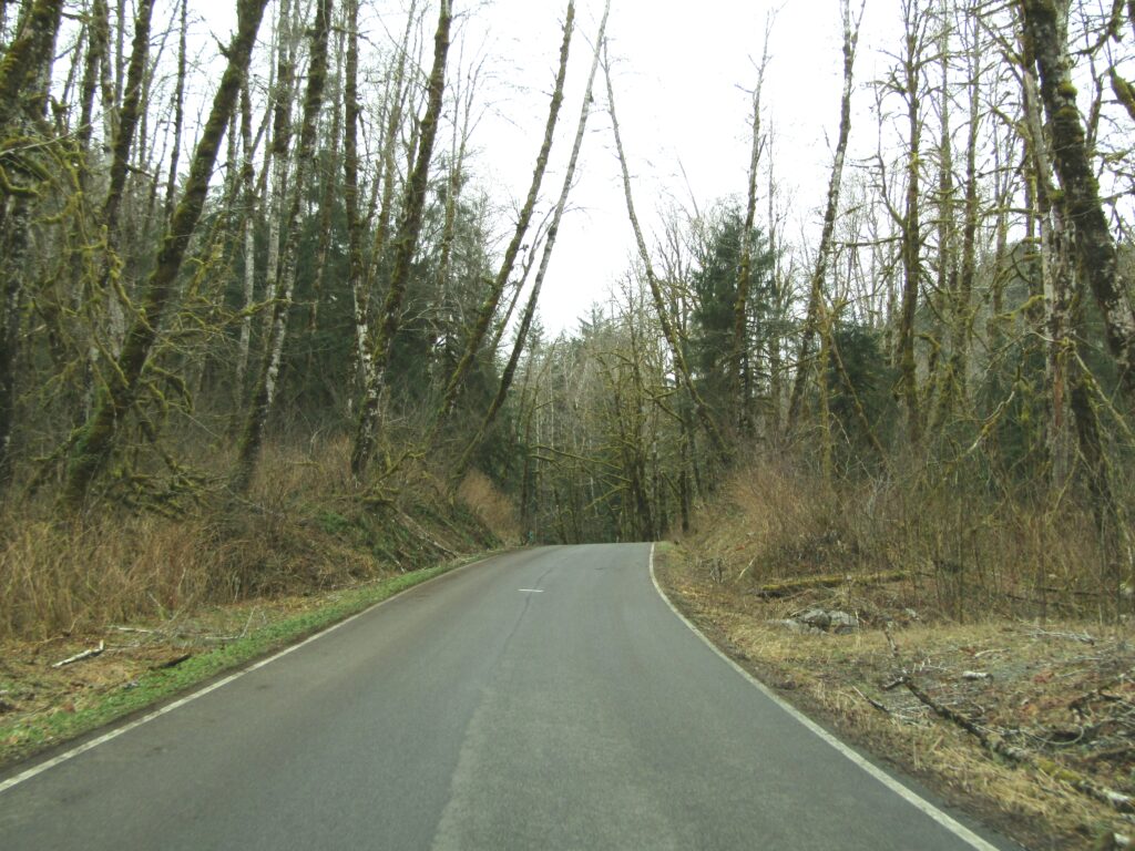
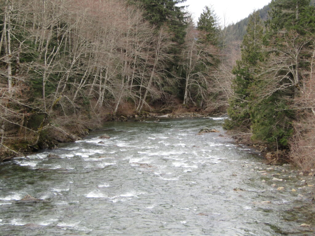
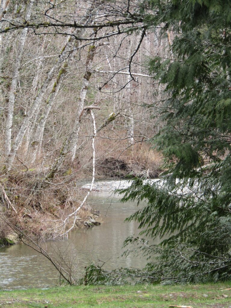
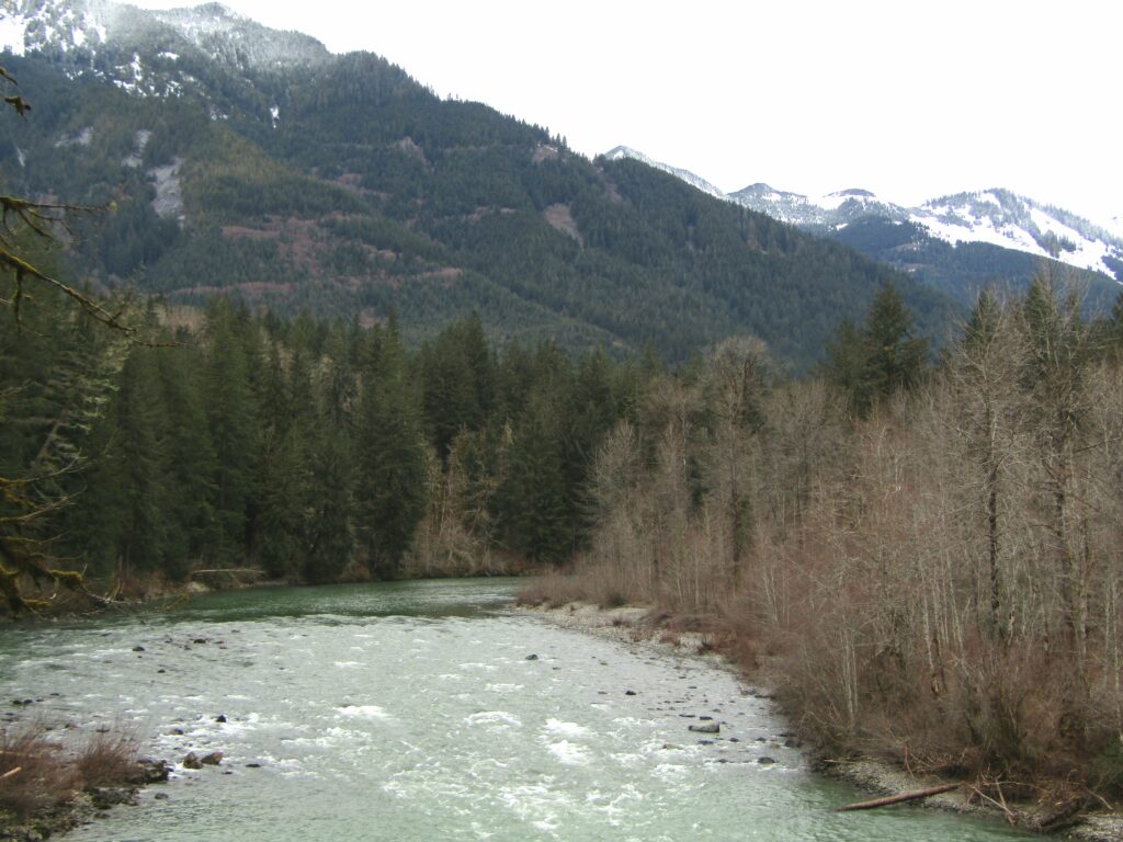
Like most areas where one travels through a deep valley, the access road runs roughly parallel, but the river winds through the terrain, at times slipping away from view.
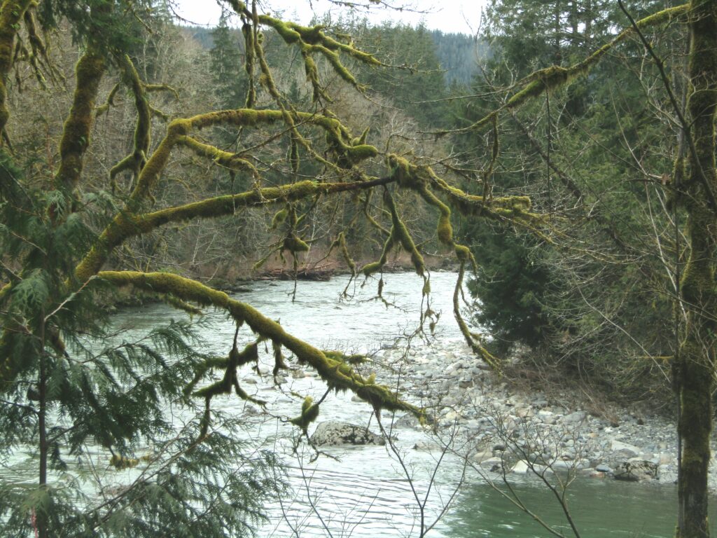
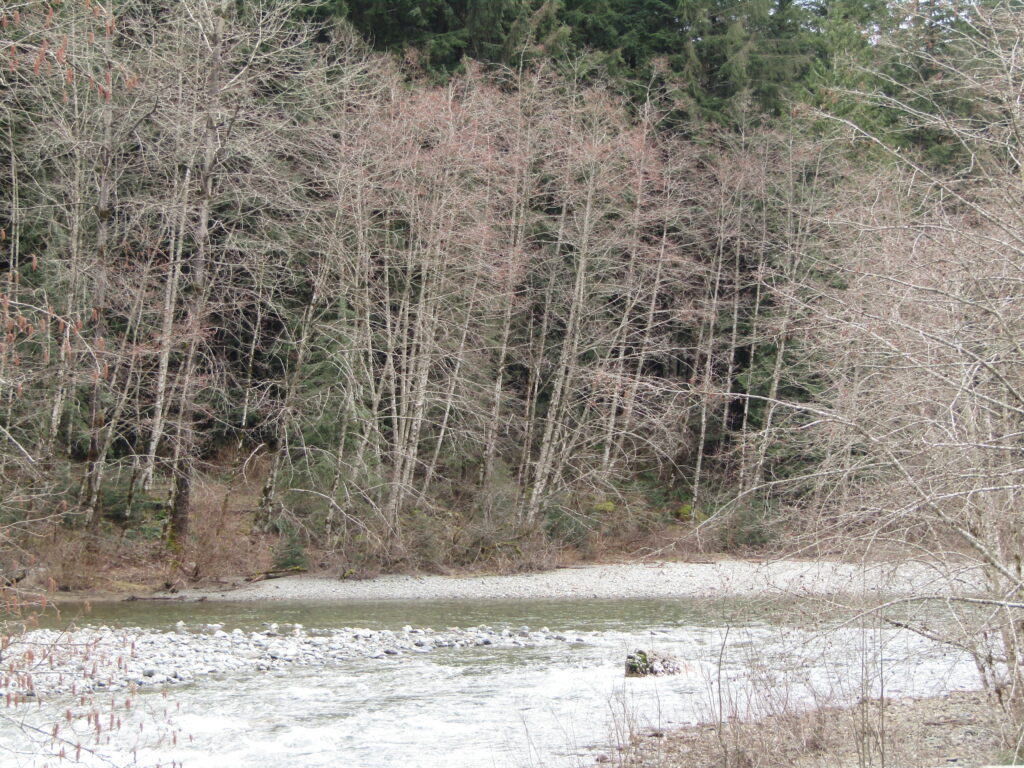
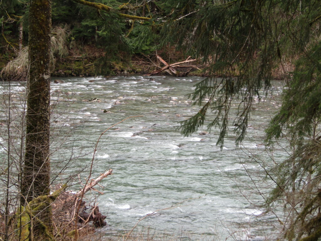
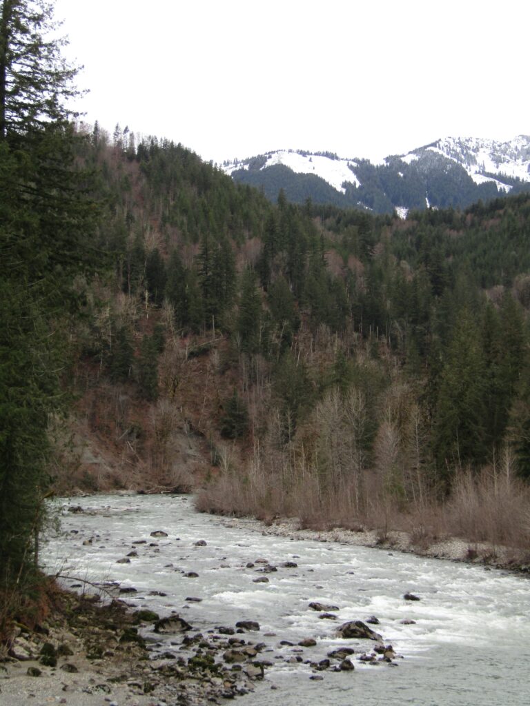
What a beautiful river!
Looking at the USGS data, it was running roughly 1,500cfs, on it’s way down from 2500cfs, roughly 36 hrs prior. Looking back at the history, though, I see spikes of almost 19K and dips down to below 200.
Continuing on, I saw many areas that I could probably wade through, at it’s current level. This suggests that the lower volume periods (seem to be late summer, as is typical for these melt-fed rivers) will be highly wadable.
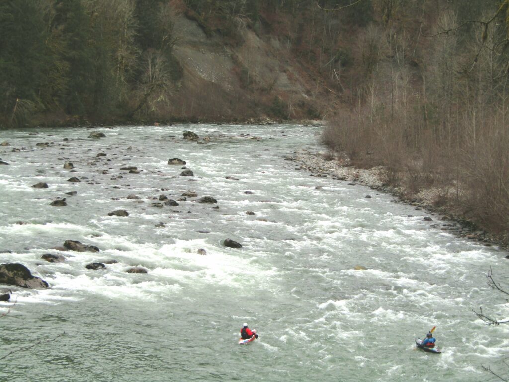
One section even had kayakers out enjoying the flow!
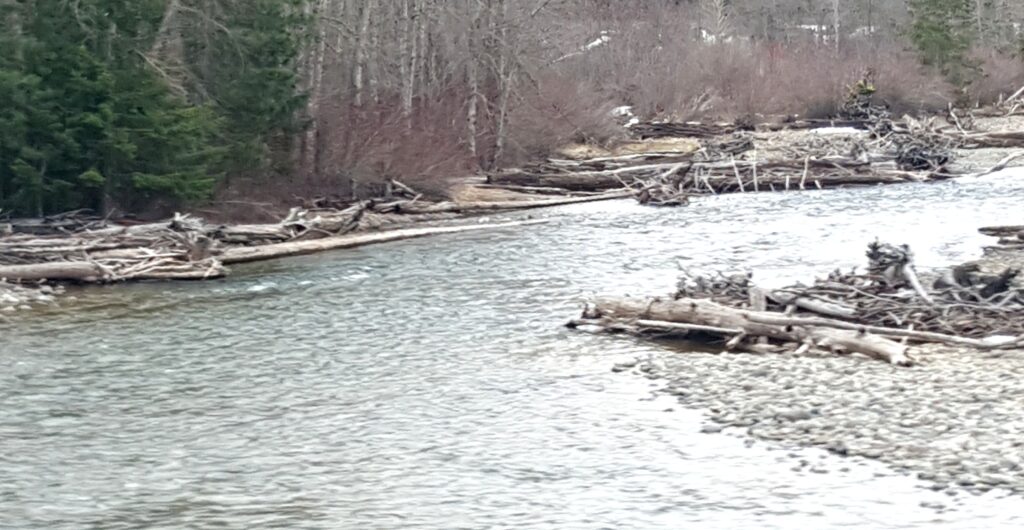
Every time I look at this…I just see hides and pockets.
I drove only a part of the way through the conservation lands, turning around when I saw a sign that I was certain was meant for me (Ha!).
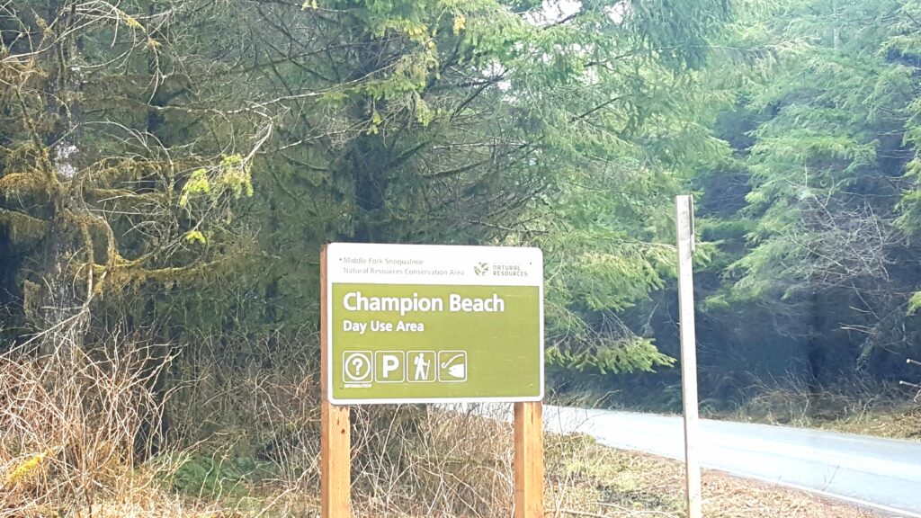
Cannot wait to come back with my gear, even if just to sample a few spots along the drive. From the above sign, back to the interstate, was maybe 20 minutes, so this is a very viable “post-work de-stress stop.”
Could not find any monitoring station that post water temps, but at least there is near real-time water level data.
On the way back, I was also reminded that I have yet to explore the Cle Elum River, too.
Maybe next time…we shall see.
Until then…
Tight lines…